Trying to choose between Old Fourth Ward, Inman Park, Grant Park, West End, or West Midtown? If you want walkability, parks, and easy dining, the Atlanta BeltLine can shape your daily routine and your long-term investment. You might be early in your search and unsure which corridor matches your lifestyle. This guide breaks down the BeltLine’s key segments, neighborhood vibes, commute patterns, parks, dining clusters, and housing types so you can prioritize the right places. Let’s dive in.
BeltLine basics and why it matters
The Atlanta BeltLine reuses historic rail corridors to create connected trails, parks, and future transit around intown Atlanta. Completed segments already link popular nodes where you can walk or bike to restaurants, markets, and parks. Other segments are still under construction, which affects activity levels and nearby development.
These trails change how you live day to day. You get more car-optional trips, closer green space, and growing retail near trailheads. Proximity has also pushed new residential development and price pressure in many areas. For maps and progress updates, start with Atlanta BeltLine, Inc. and its official trail pages.
How to choose your BeltLine fit
Walkability and evenings out
Eastside neighborhoods have the highest concentration of trail-side dining and markets. Ponce City Market and Krog Street Market anchor busy sections with steady foot traffic. Westside and Southside segments continue to grow their retail clusters, but the pattern is more emerging than established in some pockets.
Commute and transit options
If you work in Downtown or Midtown, many BeltLine areas shorten commutes. Eastside neighborhoods generally sit closer to job centers and have better access to MARTA rail and bus service. Some Westside addresses rely more on car or bus routes, though bike infrastructure is improving. Use MARTA to explore stations like Inman Park–Reynoldstown or West End and see how routes align with your schedule.
Parks and outdoor access
Trails connect directly to signature parks. Historic Fourth Ward Park sits beside the Eastside Trail. Grant Park anchors the Southside corridor. Westside Park near the Bellwood Quarry has become one of the city’s largest green spaces. Proximity to these parks can define weekend routines and how often you use the trail.
Housing types and price pressure
Close-in neighborhoods offer a mix of restored historic homes, new townhomes, lofts, and condos. Areas next to completed trail segments often see stronger redevelopment and rising values. If you want more space or a lower entry point, look one or two blocks off the trail or consider corridors that are still maturing.
Development timeline and daily logistics
The BeltLine will continue to unfold in phases for years, so expect ongoing change. In active nodes, street parking can be tight and event traffic can spike. Many buyers prioritize homes with off-street parking or a garage, especially near busy trailheads.
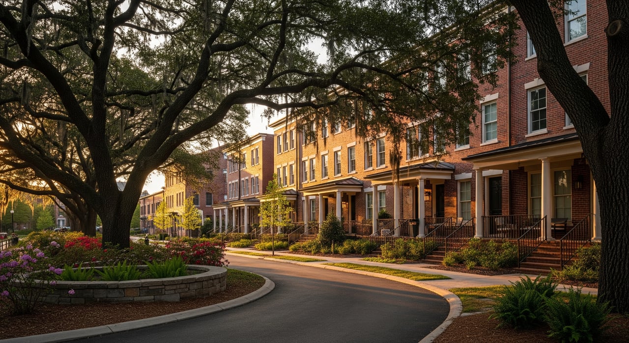
Eastside corridor: most complete and walkable
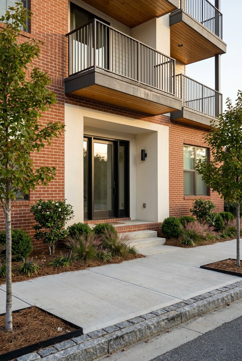
Old Fourth Ward (OFW)
If you want an urban feel with top-tier walkability, Old Fourth Ward delivers. You will find a mix of renovated historic homes, new townhomes, and loft-style condos. Historic Fourth Ward Park and the Eastside Trail are right there, and you can walk to major hubs like Ponce City Market and Krog Street Market.
Commutes to Midtown and Downtown can be bikeable, and bus routes are close. This area is popular with buyers who want restaurant-rich living and strong access to central job centers. Evenings feel lively, and foot traffic is common.
Inman Park
Inman Park blends tree-lined streets and restored Victorian and craftsman homes with easy BeltLine access. It is quieter at night than OFW but still walkable to boutique restaurants and festivals. The Inman Park–Reynoldstown MARTA station is close for rail access.
Expect smaller neighborhood parks and quick Eastside Trail access for weekend walks. Buyers often choose Inman Park for historic architecture and a neighborhood scale that balances privacy with convenience.
Poncey‑Highland and Reynoldstown
These adjacent neighborhoods offer a mix of bungalows, cottages, new townhomes, and some condo or loft options. You are close to Eastside Trail amenities without the densest crowds of OFW. Small local retail nodes and creative workspaces add variety.
Depending on the block, you can reach Midtown and Downtown quickly by bike or car. Dining and retail access keeps growing, aided by proximity to Ponce City Market and Krog Street attractions.
Southside corridor: park-centered living
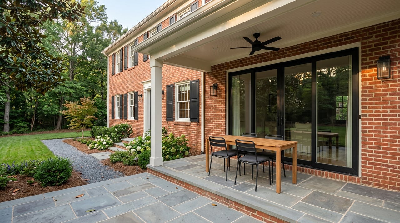
Grant Park
Grant Park centers around one of Atlanta’s oldest parks and Zoo Atlanta. Housing leans historic, with Victorian and early 20th-century homes alongside some condos. You get a strong green space identity and direct connections to growing Southside trail segments.
Transit is more bus-oriented here, with straightforward routes to Downtown. Buyers often prioritize the park, weekly routines around green space, and neighborhood commercial pockets over large food halls.
Ormewood Park / East Atlanta–adjacent
Ormewood Park offers a neighborhood-village feel with bungalows, postwar homes, and some infill townhomes. Dining options have grown, and you are well positioned for Southside trail segments and nearby parks.
It is popular with buyers who want a community vibe, more space than denser Eastside nodes, and access to increasing amenities.
Westside corridor: rapid change and big parks
Westside overview
Historically industrial in parts, the Westside is experiencing major public and private investment. You will see everything from historic single-family districts to adaptive reuse projects and new multifamily development. Westside Park has become a centerpiece and a draw for nearby neighborhoods.
Some areas lack direct MARTA rail and rely more on car or bus commutes, though biking options are improving. Retail clusters are expanding around West Midtown and Westside Provisions, with newer breweries and small shops arriving. Buyers often consider the longer development timeline and look for value relative to Eastside cores.
West End and Adair Park
West End and Adair Park offer established single-family streets with late 19th and early 20th-century homes. The West End MARTA station provides rail access, and BeltLine adjacency varies by block. Parks and neighborhood associations support community programming.
These neighborhoods appeal to buyers who want historic architecture, a community orientation, and access to green space while keeping an eye on ongoing corridor improvements.
Northeast and Midtown adjacency
Midtown, Virginia‑Highland, and Ansley Park sit near BeltLine trailheads and Piedmont Park while offering higher-density jobs, cultural venues, and quick access to core amenities. If immediate job access is a top priority, these areas keep you close to offices and transit while staying a short bike or drive from the Eastside or Northeast nodes.
Buyers who prefer established urban conveniences near the core often compare these areas with Eastside neighborhoods before choosing.
Neighborhood comparison at a glance
| Area | Walkability to dining | Housing types | Parks/trail access | Transit access | Buyer fit |
|---|---|---|---|---|---|
| Old Fourth Ward | Very high along Eastside Trail | Renovated historic, townhomes, loft/condos | Historic Fourth Ward Park, Eastside Trail | Strong bus access, quick bike to Midtown/Downtown | Urban lifestyle with restaurant-rich options |
| Inman Park | High, quieter evenings | Restored Victorian and craftsman homes | Eastside Trail, small parks | Near Inman Park–Reynoldstown MARTA | Historic homes with easy access to amenities |
| Poncey‑Highland & Reynoldstown | High, growing nodes | Bungalows, cottages, new townhomes, some lofts/condos | Eastside Trail, near markets | Good bike/driving access; some MARTA proximity | Close to Eastside without the densest core |
| Grant Park | Moderate, park-centered | Victorian, early 20th-century, some condos | Grant Park, Southside trail segments | Bus-focused routes to Downtown | Historic homes and daily park access |
| Ormewood Park | Moderate, community vibe | Bungalows, postwar, infill townhomes | Southside trail access, nearby parks | Car and bus commutes common | Neighborhood scale with growing amenities |
| Westside overview | Emerging clusters | Mix of historic SFH, adaptive reuse, new multifamily | Westside Park, growing trail links | Often car/bus; improving bike routes | Value seekers and long-term growth watchers |
| West End & Adair Park | Moderate | Late 19th/early 20th-century homes | Nearby parks, BeltLine access varies | West End MARTA station nearby | Established streets with rail access |
Smart next steps for your search
- Review current trail status and future phases using Atlanta BeltLine, Inc. resources and the official trail pages.
- Map rail and bus options with MARTA and test commute routes during peak hours.
- Verify current school boundaries and program choices through Atlanta Public Schools.
- Track zoning, park projects, and permits via the City of Atlanta Department of City Planning.
- Check regional transportation context and studies from the Atlanta Regional Commission.
- Visit your top neighborhoods on both a weekday evening and a weekend afternoon to gauge trail activity, noise, and parking.
- Review up-to-date crime statistics, neighborhood association pages, and on-the-ground insights from residents.
Finding the right BeltLine neighborhood is about matching daily rhythms to the corridor that truly fits you. Think about how often you plan to walk to dinner, how you commute, and how much you value being next to a park. If you want help comparing blocks, touring options, or weighing tradeoffs between corridors, we are here to guide you. Reach out to Gretchen Lennon for a curated plan tailored to your goals.
FAQs
What is the Atlanta BeltLine and how does it affect daily life?
- It is a long-term redevelopment of rail corridors into connected trails, parks, and future transit that increases walkability, park access, and nearby retail options.
Which BeltLine neighborhoods are most walkable for dining and nightlife?
- The Eastside corridor, including Old Fourth Ward, Inman Park, and parts of Poncey‑Highland and Reynoldstown, has the highest concentration of trail-side dining and activity.
How does MARTA access vary across BeltLine areas?
- Eastside neighborhoods tend to have closer proximity to rail and bus routes, while some Westside areas rely more on car or bus commutes, with bike options improving.
What parks anchor each corridor near the BeltLine?
- Historic Fourth Ward Park ties to the Eastside, Grant Park anchors the Southside, and Westside Park has become a major green space for Westside neighborhoods.
Are home prices higher near completed trail segments?
- Many areas next to completed segments have seen redevelopment and rising values, while blocks farther from the trail or in earlier-stage corridors may offer more options.
How can I compare school options near the BeltLine?
- Verify current boundaries and available programs directly with Atlanta Public Schools and consider visiting campuses and community forums for context.